

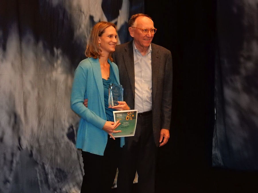
Dr. Jennifer Lentz accepting the Aquarium of the Pacific’s award for its Southern California Steelhead exhibit at the 2016 Esri Storytelling and Maps contest. Photos courtesy of the Aquarium of the Pacific.
The Aquarium of the Pacific and its Southern California Steelhead exhibit were honored for the exhibit’s story map, which used a mix of science, technology and education to illustrate the life cycle, shrinking habitat, conservation efforts and the role the fish has played in the course of California history.
At a recent San Diego-area ceremony for the 2016 Esri Storytelling and Maps contest, the Aquarium took third place in its category, placing behind The University of Connecticut’s project on its state’s coastline, as well as the United Kingdom-based SciDev’s work in mapping trachoma in Africa and parts of Southeast Asia.
Dr. Jennifer Lentz, the Aquarium’s public education coordinator said the group’s work was done to better tell the story of the fish and to better educate visitors on the obstacles the species faces as its territory continues to shrink.
“The Aquarium’s winning story map was created to connect its guests and the general public with its Southern California Steelhead exhibit and tell the story of steelhead, including their transition from rainbow trout to steelhead salmon,” Lentz said in a statement. “We also wanted to help make people are aware of the challenges faced by this now-vanishing species.”
Esri and the Aquarium started its partnership in 2014; since then, the aquarium has used its ArcGIS technology to tell the story of how human interaction has ultimately impacted certain species. Esri software is used by over 350,000 organizations worldwide, including the Aquarium. It was previously recognized for its use of the Esri geographic software in August of last year for its work on the Magellianic Penguins, the Steelhead, extreme weather events in the region, sea level rise and other topics explored by the aquarium.
“The awards identify the organizations and people who are using the power of geography to make our world a better place,” said Esri President Jack Dangermond of the winning submissions. “At Esri, we are always deeply inspired by the passion and innovation of our users. They deserve recognition for their invaluable contributions to their communities and the continued evolution of geographic science.”

The Steelhead story map chronicles the story of the Rainbow Trout’s transition to Steelhead as it migrates from freshwater sources on land out to the Pacific Ocean. Maps detail how the fish that once was found in nearly all of California has had its territory systematically shrunk by man-made dams that limit their migration patterns.
Over the past 100 years, the fish’s population has dropped by 99 percent, according to the story map, with the Southern California Steelhead being listed as endangered under the United States Endangered Species act, despite its ability to tolerate warmer waters.
The exhibit at the aquarium, which is depicted in the story map, compartmentalizes the journey of the fish from fresh to salt water to bring to life a process that can stretch hundreds of miles. Its interactive features shadows the slide show, moving east to west as the fish’s progress is followed from high elevation to sea, and allows users to zoom in and out of maps and click on icons like the dams that are preventing fish migration.
“The Aquarium’s steelhead exhibit transports visitors along a mountain path, allowing them to view these fish in three areas, representing the species’ journey from freshwater to brackish water, and finally to the ocean,” the aquarium’s site reads. “Through this exhibit, the Aquarium hopes to reveal the secrets of a little-known fish that lives amongst us in our urban environment and inspire conservation of this unique animal.”