

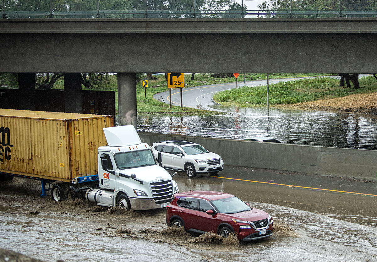
Learn more about what El Niño means for Long Beach and how you can be prepared at LBPost.com/elnino. Support useful, community-centered reporting like this with a donation.
Long Beach and the rest of Southern California are bracing for a strong, if not historic, El Niño period that will likely translate into a very wet winter.
Technically, El Niño has already begun. It’s been exacerbating the high tides and muggy weather locally. However, its worst effects may not arrive until the rainy season. It’s impossible to say at this point when — or if — record-breaking storms will actually wash over Long Beach, but here’s why forecasters say the conditions are ripe for it to happen.
What exactly is El Niño?
El Niño dramatically changes the globe’s weather patterns every two to seven years.
Experts say that under normal conditions, trade winds blow from east to west across the Pacific, pushing warm surface water toward Indonesia while cooler water rises along the coasts of Ecuador and Peru, a process known as upwelling.
Read more: A Long Beach renter’s guide to El Niño
During El Niño, those winds weaken or even reverse, allowing warm water to rush back across the Pacific, said Reinhard Flick, a researcher at the Scripps Institution of Oceanography at the University of California, San Diego.
All that heat, and the moisture that rises from it, stirs up the jet stream and changes weather patterns around the world. Wet regions can slide into drought, cold ones can turn to heat waves, and some dry ones see a spike in tropical storms and floods.
Why this El Ninõ is historically strong
When scientists say this El Niño is strong or record-breaking, all they’re talking about at this point is a stretch of ocean water near the equator where temperatures are a little abnormal.
“It’s what’s happening thousands of miles away, down there off the coast of South America,” said Ryan Kittell, a meteorologist with the National Weather Service. Scientists have tracked those water temperatures since 1950, he said, and can boil an event’s strength down to a single number, the El Niño index, which lets them compare one year to another.
The National Oceanic and Atmospheric Administration declares an El Niño when this stretch of equatorial ocean is 0.5 degrees Celsius above average for several consecutive months. It’s considered “very strong” when it exceeds 2 degrees.
This June, the federal Climate Prediction Center found water temperatures more than two degrees Celsius above normal, which are especially ripe conditions — 90% chance, as of latest reporting — for storms to form and become strong quickly.
Only four or five past El Niños have crossed that line, Kittell said.
Two of them, in 1982-83 and 1997-98, brought drenching rain, big waves and coastal flooding to the region. Experts use the 1982-83 event as their benchmark, and this one is expected to be stronger in tropical terms. The most recent forecasts predict that temperatures could reach 4 degrees above average in November and December. On Sept. 26, they hit 3.05 degrees, eclipsing a daily record set in 2015.
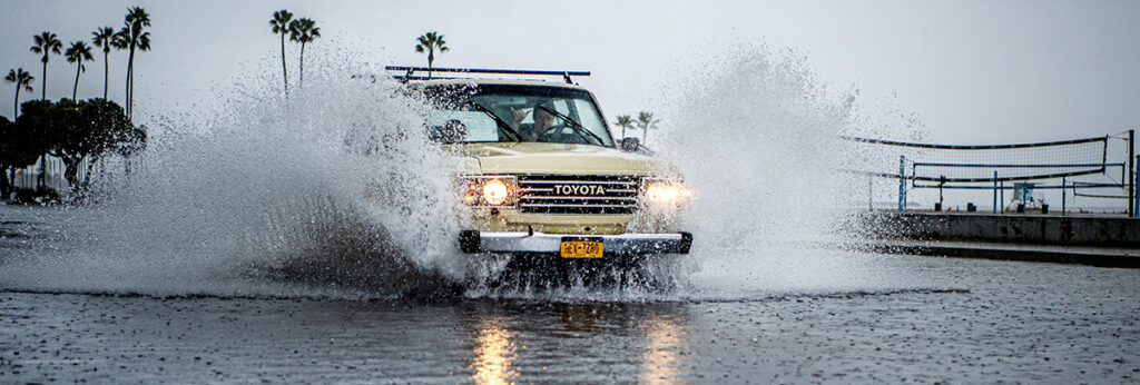
The stronger those conditions, the greater the potential for storms and other effects associated with El Niño, but it could also lead to nothing, Kittell said. The strongest El Niño on record, in 2015-16, reached 2.6 degrees above normal, yet it did not deliver the wet winter Southern California expected.
“There’s nothing certain about our winter season,” he said. “It just skews the odds towards a more active, wetter, and more dynamic winter storm season.”
When should we expect rain?
Our dry season typically runs through October with the peak of rainy season from December through March. Rainstorms in that period will be much more likely to reach Long Beach, and with far more intensity.
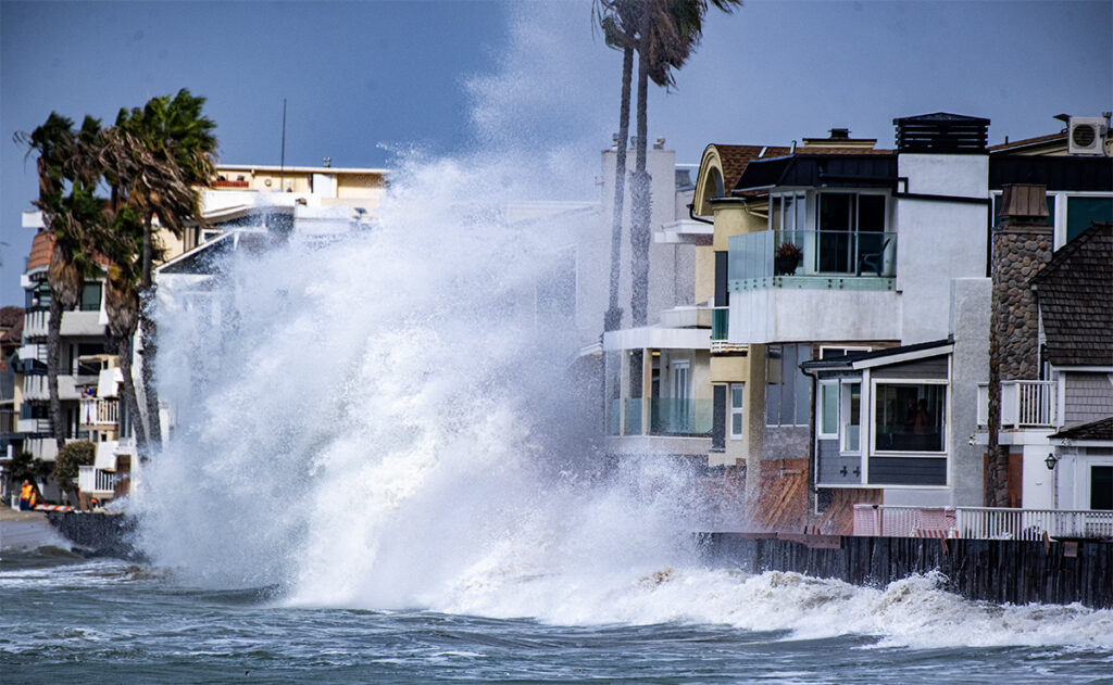
When the rain does arrive, it is likely to come in bursts, delivered by a handful of atmospheric rivers, rather than as a steady soak. That raises the risk of flash floods and landslides and, along the coast, of high tides and flooding.
The California Coastal Commission has advised coastal communities to prepare for heavy rain, erosion and large waves. Warmer coastal waters can also stress marine life, because weaker winds slow the upwelling of the cold, nutrient-rich water that plankton depend on.
Why is the surf already high right now?
The answer is we’re in an overlap phase. Hurricane season in the eastern Pacific runs from mid-May through November, and warm water fuels those storms, making it more likely that a tropical system reaches hurricane strength.
Hurricane-charged waves seen so far this year are moving north along the Mexican coast, able to cut through the gap in the breakwater and jetty that allows boat access to Long Beach’s Alamitos Bay. Those powerful breakers stripped tons of sand and threatened homes on the Peninsula.
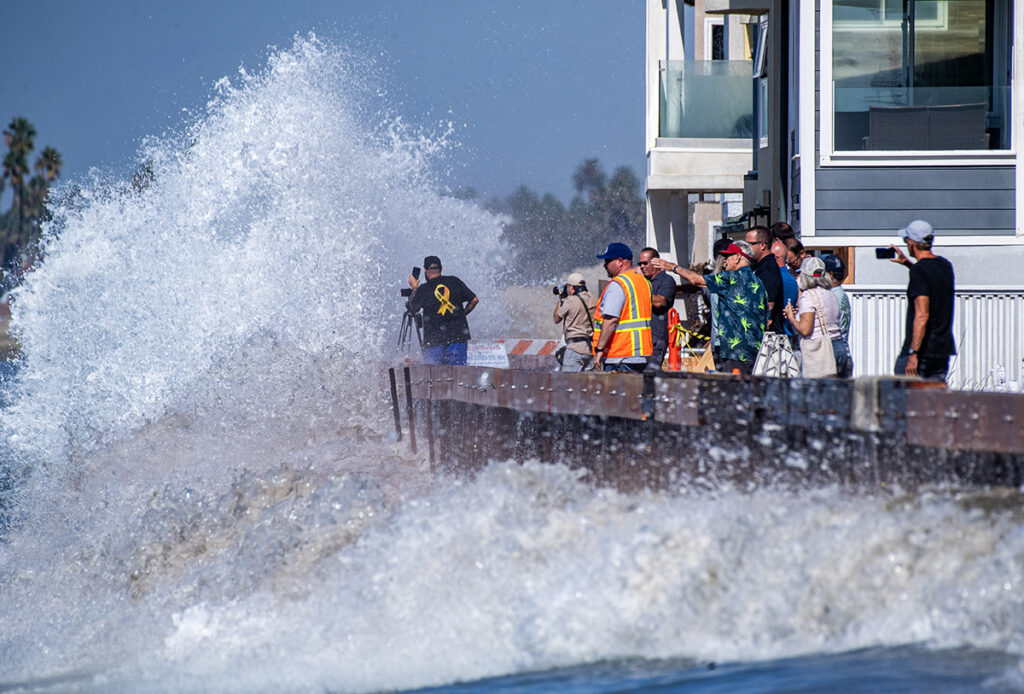
That should change once the city exits hurricane season in late November.
Hurricanes later in the year are much more likely to form in the western Pacific — as opposed to the southeast — and the federal breakwater that shields Long Beach’s harbor blunts the swells that originate from the west. That’s why much of California’s western coast may still see dangerous waves through the winter, though Long Beach is usually safe.
What can you do to be ready?
Emergency preparation is the single most important thing you can do regarding natural disasters. We’ve got some advice here on easy steps you can take right now. It’s also important to know your evacuation routes, and check if your home is in the city flood zone here.
Kittell also suggested getting some sandbags and monitoring the forecast, and paying closer attention once warnings for an actual storm appear.
“Any winter we could have bad storms, bad waves, bad coastal flooding, so we should be preparing every winter for that,” Kittell said. “You don’t want to be too paranoid about it, but you also don’t want to be caught off guard.”
Read more: Easy ways to be prepared before El Niño storms hit Long Beach
State and local officials are also getting ready. The city and Gov. Gavin Newsom both declared a state of emergency, which gives them more authority to spend money quickly in response to a disaster.
The city is also exploring projects to reclaim lost beachfront after Hurricane Marie battered the Peninsula. But that is largely separate from El Niño, though rains could impede projects. The greater worry is future tropical storms and high tide, the latter of which could be exacerbated by El Niño warming up the ocean.